South Mountain Park is one of the Valley’s great recreational resources.
With more than 50 miles of multi-use trails crisscrossing more than 16,000 acres of rugged desert beauty, the park is adored by hikers, bikers, and horseback riders alike.
But there’s more: Several splendid overlooks give even casual visitors a panoramic view of the valley, while a couple of stables just outside the park allow weekend cowboys to indulge their inner cowboy on the park’s trails.
The park began in 1924 when President Calvin Coolidge authorized the sale of 13,000 acres (the park has grown ever since) of federal land to the city of Phoenix. Tag price: $17,000. What theft!
Today, with more than 3 million visitors a year, South Mountain Park is the second most visited park in all of Arizona, second only to the Grand Canyon.
Whether you’re looking for a relaxing half-hour ride or a challenging day hike, an easy-rolling mountain bike ride or road bike options, a scenic desert trail for horseback riding, or spectacularly scenic overlooks, You will find it in South Mountain Park.
Hiking
One of the best things about South Mountain Park—besides its sheer size, easy access, and wonderfully varied terrain—is its interconnecting trail system, which allows hikers to tailor hikes to suit their tastes, as well as their fitness levels. .
Trails range from the short, easy, and barrier-free Judith Tunell Accessible Trail to the grueling 14.3-mile National Trail that crosses the park.
Fat Man’s Pass – One of our favorites is the family fun hike up Fat Man’s Pass. Kids love to slide down the foot-wide slot. Adults too. The 20 foot squeeze takes you between huge smooth granite boulders.
Where: Take Summit Road to Buena Vista Lookout, then hike the National Trail east-northeast about 1.5 miles to the marked junction with Hidden Valley. Fat Man’s Pass is just beyond.
Length: 3 miles round trip.
Difficulty: Easy.
Ranger Trail – For a more challenging hike, try the Ranger Trail. Coming out of the Five Tables Picnic Area (which, unsurprisingly, has five picnic tables), the line of the mountain range in front of you looks daunting. Don’t worry: a series of long, fairly gentle switchbacks keep the climb from becoming overwhelming.
The Ranger Trail ends at a junction with the National Trail, about 1.4 miles and an easy 45 minutes from the trailhead. For better views to the south, continue west along the National Trail about 100 yards.
Return to the trailhead you came from.
Where: About a quarter mile past the park offices at the old gate station (or three-quarters of a mile past the new gate station), turn left at the sign to the equestrian area and proceed about a quarter mile to Five Tables Picnic Area. (Don’t worry that the sign refers to the Three Tables area. This is where you turn.)
Length: 2.8 miles round trip.
Difficulty: Moderately strenuous. The trail gains about 800 feet in elevation, but the grade is reasonably gentle for most of the way.
Mountain bike
The Desert Classic Trail is the best route in the park for mountain biking. The long, undulating single track winds through the bajada in the southeast section of the park.
Although often recommended for novices, the Desert Classic plunges in and out of various sandy washes, sometimes quite steep. Although experienced mountain bikers will find it an exceptional ride, beginners will likely end up walking several sections. Be sure to keep an eye out for hikers and horseback riders who share this popular trail.
Where: The Desert Classic trail runs from the Pima Canyon Trailhead to the Desert Foothills Trailhead.
Length: 9.6 miles, one way.
Difficulty: Easy to moderate for experienced cyclists, moderate to difficult for novices.
You might see a handful of inveterate cyclists riding the National Trail, which crosses the spine of the mountain range, through the park. This is a really tough ride, suitable for expert cyclists only.
road cycling
In the past, riders could expect a lot of jolting and rattling as they rode the bumpy roads in South Mountain Park. No more. Last year’s paving project turned shaky driveways into easy-rolling paths, great for road bikes.
Mirador de San Juan: The road to Mirador de San Juan, closed until further notice to motorists (due to fire concerns), is an especially good ride, a smooth and fast cruise through the scenic western end of the park. And with no motorists to keep an eye on, it’s more fun than ever.
Where: Lots of bikers park at the front gate and ride the main road about two miles to San Juan Road. However, if you prefer, you can drive to San Juan Road and park in the large triangular area between the roads, then drive the rest of the way.
Length: about 4.5 miles, one way. Add two miles (in each direction) if you park at the front door.
Difficulty: Easy.
Summit Road – Those looking for a challenge can test their skills on Summit Road, which was also repaved last year. But it’s a tough grind, gaining over a thousand feet in elevation. Please note that the road is quite narrow and often has practically no shoulders.
Where: Park at the gatehouse or at the beginning of San Juan Road, as before, and take Summit Road to Gila Valley Lookout.
Length: Approximately six miles one way, starting at San Juan Road. Add two miles (in each direction) if you start from the front door.
Difficulty: Strenuous. Recommended only for experienced cyclists and in good condition.
to ride a horse
Saddle up and take a ride through the picturesque desert foothills within South Mountain Park. There’s nothing like the steady clop-clop of hooves on a trail and the rhythmic bob of a horseback ride to give you a taste of the Old West.
Ponderosa Stables: For a guided ride, rent a horse at Ponderosa Stables, near the Central Avenue entrance to the park.
have a picnic
There are dozens of picnic tables and grills throughout the park, all within a short drive. Most are first-come, first-served, but larger ramadas, some of which can hold up to 200 people, can be reserved by registering in person at the South Mountain Environmental Education Center, up to six months in advance. All are free, except the Activity Complex, east of SMEEC, which has an industrial kitchen and can be rented for $20 an hour.
petroglyphs
There are thousands of prehistoric petroglyphs scattered throughout the South Mountain region. Those ancient symbols include depictions of geometric figures, lizards, snakes, bighorn sheep, and creepy humanoids, but no one knows if they were meant to convey practical information about the location of game and water sources, or if they played a role in religious rituals. .
Among the best places to see petroglyphs are:
• Off the Telegraph Pass Trail on the south side of the park.
• About a quarter mile along the Holbert Trail behind the visitor center.
• Along the Judith Tunnel Accessible Trail.
There is also an almost certainly fake inscription of Fray Marcos de Niza near the Pima Canyon trailhead. Take Desert Classic Trail south and follow the signs. The inscription is a couple of hundred meters from the trailhead, but the trail goes up several rough and rocky steps.
Although some historians believe that the Franciscan friar, who claimed to have seen the legendary Seven Golden Cities of Cibola in western New Mexico in 1539, may have traveled through the Salt River Valley, the carving in South Mountain Park was likely created in the 1920s or 1930s. .
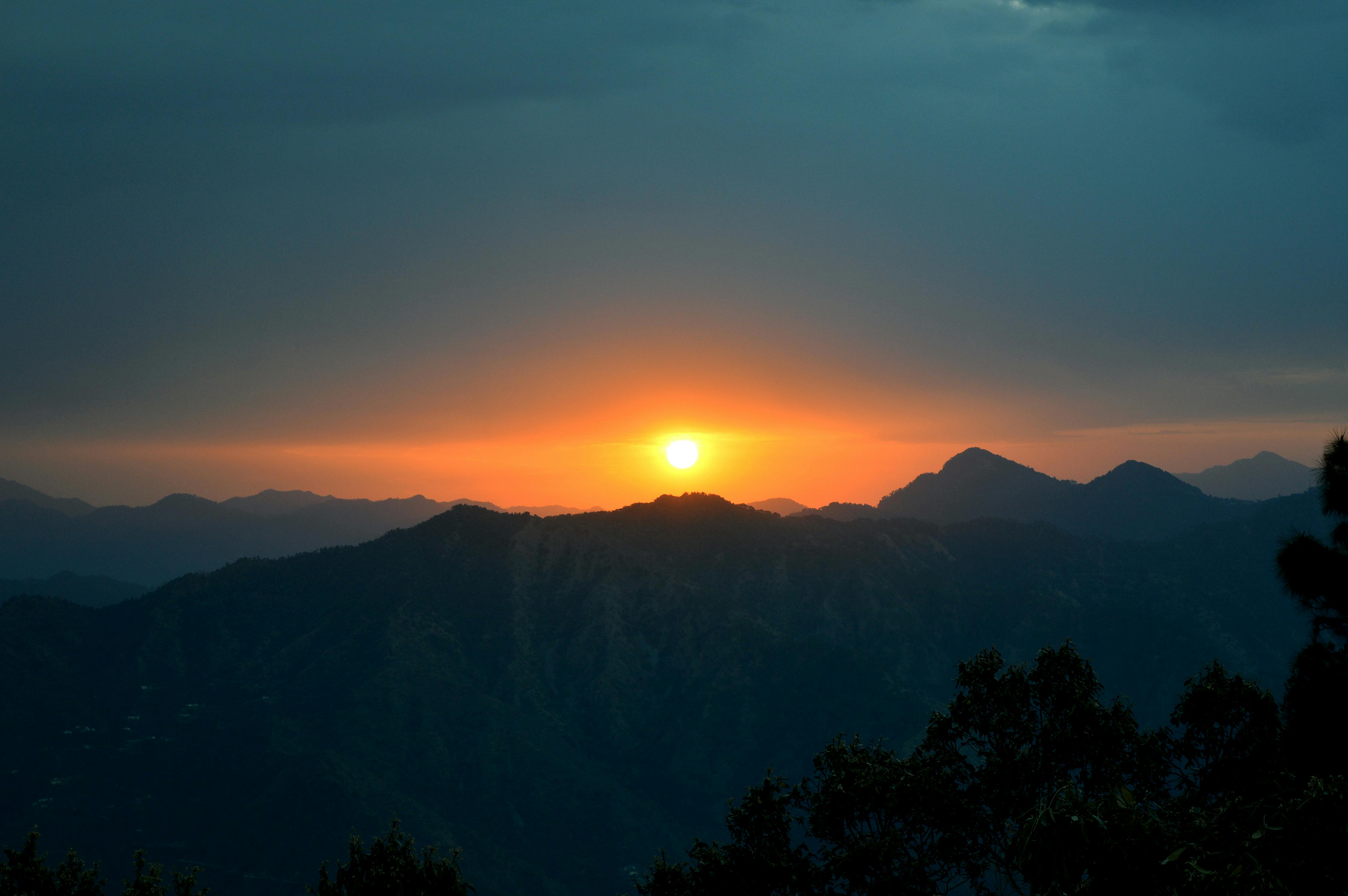
panoramic viewpoints
The Dobbins Lookout offers the best and widest views to the north. The popular, frequently crowded overlook features a stone restroom, built by the Civilian Conservation Corps, a bronze plaque marking some two dozen features in the distance, a couple of shadeless picnic tables, and restrooms. (But those with picky sensibilities may wish to find other facilities).
Hikers can access the Holbert Trail from here.
Where: Take Summit Road a little over three miles to the signposted turnoff for the overlook, which is about a quarter mile from Summit Road.
Buena Vista Lookout also offers great views to the north, but not as good as Dobbins. However, it is considerably less crowded.
There is a bench about 75 yards north of the parking area, to take in the panoramic views before you.
Hikers can take the National Trail east to Fat Man’s Pass and Hidden Valley from this overlook. No facilities.
Where: From the turnoff for Dobbins Lookout, continue approximately one and a half miles to Buena Vista.
Gila Valley Lookout is the highest point in the park accessible to visitors, just 30 feet or so below the antenna-covered summit of Mount Suppoa (2,690 feet).
The views to the south are stunning, with ranges and ranges of mountains receding into the distance. You’ll also find good views of the Superstition Mountains to the east and Sierra Estrellas to the west. No facilities.
Where: From the turnoff for Dobbins Lookout, continue approximately 2.5 miles to Gila Valley Lookout.
Visit: Phoenix-Getaway.com [http://www.phoenix-getaway.com]